Dryland Plant Patterns are an Excellent Indicator of Ecosystem Health
The spacing, density and diversity of plant communities are telling us more about the health and resilience of ecosystems than you might think.
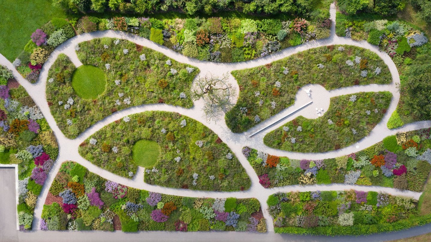
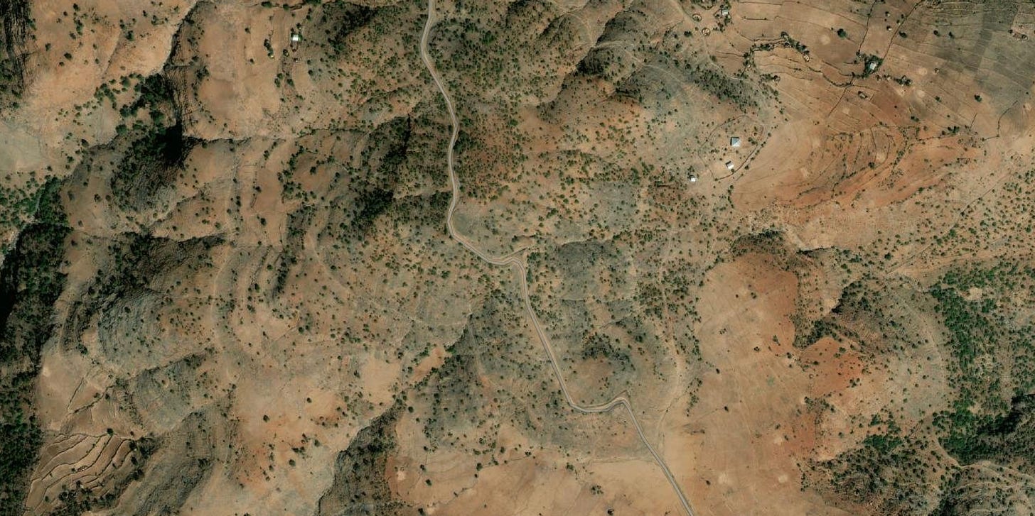
If you’ve ever seen a natural landscape from above, you’ve no doubt taken note of the patterns that plants form across the soil surface. The way they’re grouped together in communities has always been an indicator of conditions. Perhaps they’re sparse in a windy gully or gathered tightly to take advantage of resources (like light, water or nutrients). But now researchers in Spain, have taken it a step further. They’re using the spatial patterns of dryland plant life (and how it changes over time,) as an indicator of resilience to climate change. And, backing it up with hard evidence.

Dryland ecosystems cover some 40% of the earths surface, and face their own unique climate challenges (characterized by low precipitation and high temperatures). Through the use of field surveys, models and remote sensing, this exciting new study has found evidence of the function that underlies these striking patterns. Discovering, that as the environment becomes more arid, the spatial structure of the plant material strengthens. Maintaining the health of the soil by protecting the all-important soil microorganisms. While also managing and facilitating the use of resources (like water and nutrients) by joining together in a vast network.
In other words, the plants are able to organize themselves in response to an environmental stress, for the greater good of the ecosystem. Ensuring, that the entire system not only functions through the stress, but ultimately survives it.
But,as with all ecosystems, these landscapes are susceptible to a dangerous threshold. A point at which the stress becomes too great and the core balance is lost, making recovery impossible. Thankfully, the study was also able to note a series of these, “spatial early warnings”, found within the observed patterns, revealing when the threshold is near.
Through their work, the hope is that we can build tools to indicate where an individual systems current health sits, and model/predict where it is likely headed. And, that as the frequency and extremity of environmental changes continue to increase, we can be ready to intervene and save ecosystems before they hit that deadly threshold. For more specific information on the study, see, Self-organization as a Mechanism of Resilience in Dryland Ecosystems (Feb 1, 2023, 121 (6) e2305153121, https://doi.org/10.1073/pnas.2305153121).
Interesting right? That data can be gathered and analyzed (perhaps from a distance, or even using AI tech), setting off some kind of monitoring system. So, that the right authority can then spring into action. Well, I can’t help thinking that this is also something that we do as gardeners. On a much smaller scale of course. Working in, observing and tracking changes within the systems that we care for. My thoughts now are, could we also utilize bird’s- eye drone shots, satellite imagery and GIS mapping to create our own “Pattern recognition programs” in areas that we steward? It requires a little further exploration and research maybe, but I feel like it could be useful. especially for larger landscapes and urban plantings, park lands and community setting, where minimal resources (workers, budget, equipment etc) are available. What do you think? could there be a new hort tool here?

Sara-Jane at Virens Studio
Virens is an Eco-conscious Landscape and Planting Design Studio, located in beautiful, BC, Canada. As always you can find us online, on Instagram and here on Substack. Subscribe, comment and get in touch today!


